


Route type: Two-way
Difficulty: 1/5 (Easy)
Duration: 9h 45min
Length: 11,5km
Equivalent length: 11,5km
Ascent: 1146m
Descent: 101m
Maximum altitude: 2444m
Minimum altitude: 1361m
Drinking water: Yes
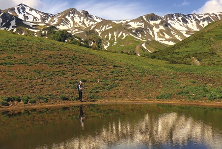
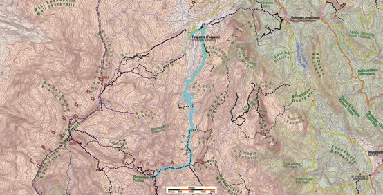
The route from Gramosta to the Kiafa saddle, ending at Perifano, runs through the Rofila meadows of Gramosta as far as the Kiafa pass, and then continues through wilder terrain to the prominent cone of Perifano.
The route starts from Gramosta and climbs to the Farmaki pass, along the course of the other routes of the area (Stani Lambrou–Souflikas–Lianotopi and Gramosta–Farmaki–Stani Lambrou–Tsoumia–Arenes routes). At the saddle, we leave the dirt road and take the ridge. We pass a telephone antenna and continue downhill, with successive smooth and steep sections. Up to the summit of Kiafa. The entire route has excellent views.

Here we also meet the route Gramos village – Kiafa saddle – Perifano, which we follow to Perifano (2,444 m).


Route walkability
Distribution over
altitudinal zones
Elevation profile
Starting – ending point and maximum elevation

Tips
- We will not find water on the route.
Comments
- The route is well marked.