


Route type: Two-way
Difficulty: 2/5 (Moderate Difficult)
Duration: 7h 15min
Length: 12,6km
Equivalent length: 12,6km
Ascent: 1159m
Descent: 182m
Maximum altitude: 2409m
Minimum altitude: 1357m
Drinking water: Yes
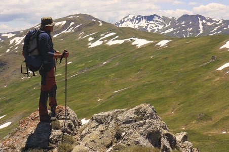
The approach to Lake Gistova from the Barouga saddle, via the Goumpel–Moutseli–Sakouli ridgeline, offers the chance of a pleasant route with ample views over the Gramos basin and the neighbouring Albanian ranges.
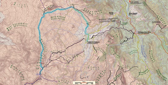
The route starts from Gramosta and climbs to the Barouga saddle via a combination of trails and dirt roads.

From there, we take a succession of small paths running through smooth slopes and ridges at the southern base of the Goumpel summit, and through lush green landscapes we reach the Goumpel col.

We continue along the crest of the ridgeline, which is also the borderline with Albania, passing successive boundary pyramids (“turtles”).

We cross the Moutseli ridge and skirt the Sakouli massif to descend towards the main path to Gistova, along which we hike on easy terrain as far as the lake.

Route walkability
Distribution over
altitudinal zones
Elevation profile
Starting – ending point and maximum elevation

Tips
- The Barouga saddle is a smooth col between the Goumpel summit and the smaller summits of Flabouro and Porta Osman. To the north stretch boundless meadows which gradually descend towards Albania.
Comments
- The route is well marked.