


Route type: Two-way
Difficulty: 4/5 (Very Difficult)
Duration: 8h
Length: 20,2km
Equivalent length: 20,2km
Ascent: 1088m
Descent: 1261m
Maximum altitude: 2165m
Minimum altitude: 1209m
Drinking water: Yes
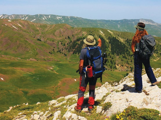
Souflikas is one of the most impressive summits of central Gramos — and rightly so, since it is a limestone massif with very precipitous faces. The interesting feature of the summit is that it forms an elegant and, for the most part, passable crest, from its southernmost to its highest peak. Our route follows this narrow crest, leaving it only at the great cleft before the high summit.
And Souflikas, like all the remote summits of the massif, keeps the memories of the Civil War intact: gun emplacements, shell fragments and small embrasures.

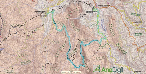
The route begins from the village of Gramos and follows the dirt road (with some shortcuts) as far as the Stani Lambrou meadow, where the namesake livestock installation stands. We continue on the dirt road to the area of the large alpine lake. From the western end of the lake we begin a long ascent to the Souflikas ridge.

We follow the crest of the ridge northwards and, with continuous ups and downs, reach a small col before the great cleft to the south of the highest summit, to descend via a narrow and hard-to-traverse path through a precipitous rocky zone as far as the first meadows. We ascend on a distinct path again into rocky terrain until we reach the northernmost end of the Souflikas ridgeline.

From here we will descend sharply towards a series of ridges and saddles to the NE, passing through a steep basin with unstable ground (a spring with abundant water), and enter the great meadows on the eastern side of Souflikas. On a distinct path, along a narrow ridge covered with beeches and black pines, we reach the road network of the Zgouros area.

Following the dirt road to the right we arrive at the location of Kiafa Zgourou. From here we can follow the 4.7 km dirt road that ends at Lianotopi. From Lianotopi we can continue our route via the Vlahostrata to the village of Gramos.
Route walkability
Distribution over
altitudinal zones
Elevation profile
Starting – ending point and maximum elevation

Tips
- We will find water in streams and at the spring to the east of Souflikas.
Comments
- The route is quite difficult and tiring.