


Route type: Two-way
Difficulty: 2/5 (Moderate Difficult)
Duration: 9h
Length: 18,3km
Equivalent length: 18,3km
Ascent: 1027m
Descent: 673m
Maximum altitude: 2153m
Minimum altitude: 1361m
Drinking water: Yes
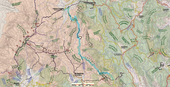
The connection between the Gramos valley and the Arenes lakes is one of the longest routes on Gramos.
The route starts from Gramosta and climbs to the Farmaki pass, along the course of the other routes of the area (towards Stani Lambrou–Souflikas–Lianotopi and towards Kiafa–Perifano).

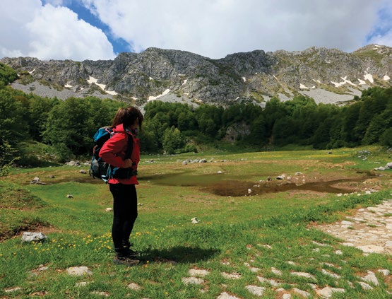
From the saddle we continue on the livestock road, passing through the Stani Lambrou meadow and the neighbouring alpine lake.

The road continues to the Kotaria meadow and, passing close to Mavri Petra — a large pyramid of black rock — emerges onto the Tsoumia ridge, which it follows.

We leave the road and enter a path, which leads us to the Triakosara meadow, from where a dirt road will take us to the twin Arenes lakes.

Route walkability
Distribution over
altitudinal zones
Elevation profile
Starting – ending point and maximum elevation

Tips
- Although a large part of the route follows dirt roads, the stretch across the summit meadows is particularly pleasant. This route is crossed by, or can be connected with, many others, such as the traverse from Aetomilitsa, the ascent of Perifano and the Souflika traverse.
Comments
- The route is easy, but long, and requires about 7–9 hours. It is well marked.