


Route type: Two-way
Difficulty: 3/5 (Difficult)
Duration: 6h 30min
Length: 10,3km
Equivalent length: 10,3km
Ascent: 1279m
Descent: 161m
Maximum altitude: 2520m
Minimum altitude: 1390m
Drinking water: Yes
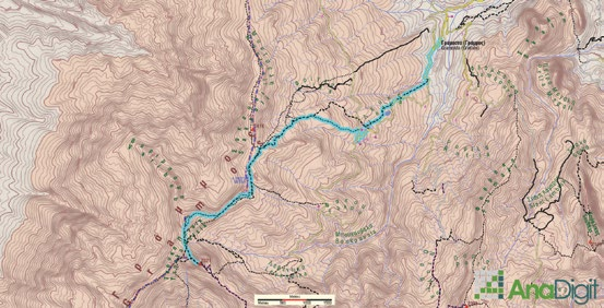
The summit of 2520 (or Tsouka Petsik, in local parlance) is the highest peak of Gramos and the fourth highest in Greece. Its pyramid stands in the very centre of the great horseshoe of the eastern Gramos peaks and can be approached by at least four routes. The route described here starts from the village of Gramos, climbs to the Lefka area, passes Lake Gistova and continues along the ridge to the summit of 2520.
The ascent starts from the village of Gramos (locally Gramosta) and follows a succession of livestock trails to the Lefka area, where the roads fork towards Barouga and Fakou. We will continue past a stone shrine and soon reach a high plateau with small alpine lakes. We continue on smooth slopes. To reach the lake’s basin, a short descent is required.

From Gistova, we will take the crest of the ridgeline, right along the Albanian border. After passing the unnamed summit of 2414 m, we reach the north ridge of 2520 and begin the ascent up the rocky crest.

This option involves a bit of easy scrambling (we follow the rather dense red marks; there is also an easier variation, following a more passable path on the western face of the summit).

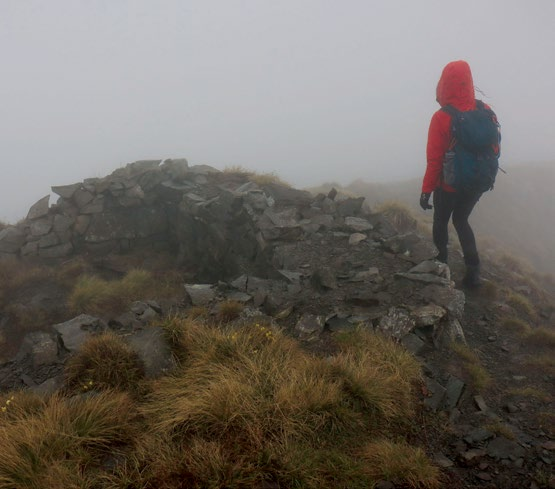
On the summit of 2520 we will pass a series of Civil War fortifications, while near the trig point the remains of a small, once timber-roofed church of the Virgin Mary are visible (today it has been transferred to the Gkesos summit).

Route walkability
Distribution over
altitudinal zones
Elevation profile
Starting – ending point and maximum elevation

Tips
- A high-clearance car can also reach Lefka.
- Spring water at a hidden spring before Gistova; otherwise in the streams.
Comments
- Note that weather conditions are particularly changeable — equip yourself according to the season