


Route type: Two-way
Difficulty: 1/5 (Easy)
Δθρατιον: 2h
Length: 16km
Equivalent length: 16 km
Ascent: 999m
Descent: 338m
Maximum altitude: 1585m
Minimum altitude: 920m
Drinking water: No
One of the main hiking explorations one can make based in Nestorio is the long but beautiful and easy trek to the summit of Alevitsa.
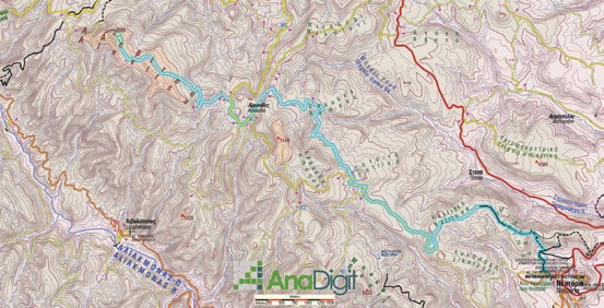
The trail starts within the village and climbs towards the settlement’s old water source. After an hour we will enter a network of agricultural and forest roads leading to the summit.
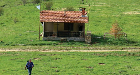
In the first part of the route, the most interesting element is the superb view towards Nestorio and the Aliakmonas valleys. In the sparse rocky outcrops, depending on the season, we will find small reptiles and unusual wildflowers, and many orchids.


Higher up, we will lose ourselves in the endless beech forests.


Route walkability
Distribution over
altitudinal zones
Elevation profile
Starting – ending point and maximum elevation

Tips
- We will not find water along the route.
Επισημάνσεις
- As with all the other commanding positions in the area, here too we will find scattered remnants of fortifications from the Civil War period.
- The route does not have a single unified marking; in sections, however, it is served by the signposting of other routes.