



Route type: Two-way
Difficulty: 2/5 (Moderate)
Duration: 2h 30min
Length: 5,9km
Equivalent length: 5,9 km
Ascent: 700m
Descent: 100m
Maximum altitude: 1765m
Minimum altitude: 1180m
Drinking water: Yes
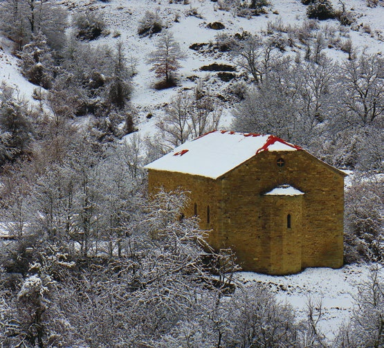
Palia Kotyli is well hidden along the axis of a valley rich in waters and soil resources. The route leads from the deserted village, of which nothing remains but the large parish church, to the fire lookout on the Pyrgos summit.
From Palia Kotyli, a series of small paths and forest roads lead to the Kotyli Meadows, a large plateau where the National Reconciliation Park has now been created.
The building complex includes guesthouses, a museum and meeting halls.
From the Park, the trail to the Pyrgos Kotylis summit begins.
The trail is clear and well marked and leads in one hour to the fire lookout on the summit.
Route walkability
Distribution over
altitudinal zones
Elevation profile
Starting – ending point and maximum elevation

Συμβουλές
- Water can be found at the National Reconciliation Park.
- From the Pyrgos summit we have an excellent view over eastern Gramos.
Επισημάνσεις
- The first section of the route is marked with a green square, while the second with a light blue square.